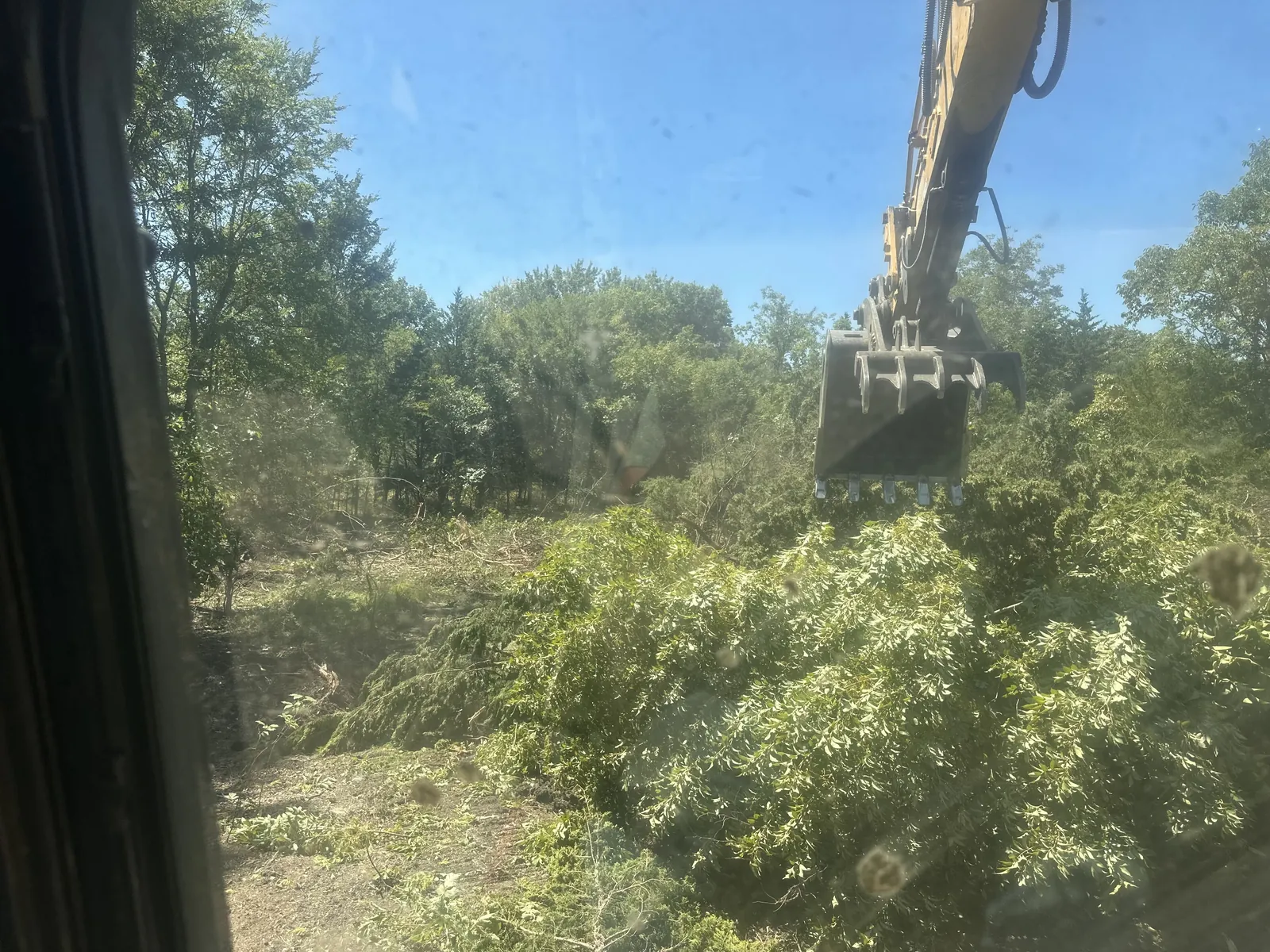
Excavation in Ardmore usually means digging in ground that changes fast. The city is the seat of Carter County and sits about nine miles south of the Arbuckle Mountains. Rock beds here were folded and tipped on edge long ago. That shows up as low ridges running northwest across pasture and home sites. We run a Cat D6 dozer and a 30,000 pound excavator out of Ada, plus a tracked skid steer. Ardmore is about 61 miles south of us, so we plan full jobs there rather than short stops.
Most calls here come off acreage south and west of town. That means Lone Grove, Springer, and the country around Lake Murray. Ardmore is ranch country. Cattle and hay ground sit next to pecan bottoms and new metal shops. The digging follows that. We cut footing trenches, run stock water lines, key in ponds, and level pads on sloped ground. The general shape of how we handle excavation work holds anywhere. What changes here is the ground and the old lines under it. Call (580) 344-7473 for a free estimate.
Tell us about your property and we'll get back to you fast.
Ardmore sits in the Ardmore Basin. The rock here got squeezed between the Arbuckle Mountains to the northeast and the Criner Hills to the southwest. The beds were tilted steeply. They now run as northwest trending ridges with softer valleys between them. Sandstone and limestone hold up the ridges, with chert conglomerate in places. Shale fills the low ground. So depth to rock is not one number across a property. A footing trench can run in loose dirt at one corner and hit rock at the next. We test the ground early with the excavator. If rock is shallow, the excavator works it out and the D6 pushes it off. That changes both the plan and the price.
That ridge and valley pattern also decides where water goes on a place. Carter County ran about 50,000 head of cattle by 2000. The Noble Research Institute keeps 13,500 acres of working ranch ground near town. On that kind of property the dig list runs long. Water lines run out to a new tank. A pad goes in for the hay barn, and power gets trenched to the well. Then a cut to push runoff away from the pens. Draws that feed Caddo Creek and Hickory Creek hold the wet ground. Rock under a pond site also changes the depth we can reach. We plan stock pond digging and pad work around that drainage.
Carter County has produced oil since the Healdton field came in during 1913. It has led the state ever since. Refineries and pipelines followed the wells. That history is still in the dirt here. A quiet pasture can carry old gathering lines. Oklahoma law says the locate call goes to OKIE811 at least 48 hours before digging. The day you call does not count, and weekends and holidays do not count either. The ticket runs out 14 calendar days from the start date. If a structure is coming down, operators get 7 business days of notice first. OKIE811 marks lines its member operators have on file, so we ask you about the rest.
Which permit you need depends on where the work sits. Carter County runs its floodplain program from an office on A Street NW in Ardmore. It has permit applications, plus separate forms for oil and gas lines in the floodplain. One of those is a depth of burial certification. Inside city limits, Ardmore's Community Development office handles building and demolition permits. It also permits storm shelters and swimming pools. A job that disturbs an acre or more falls under construction stormwater rules. Rules change, so check with the county or city office first. Because Ardmore sits 61 miles out, we group the digging into one trip. You can see the rest of what we do around Ardmore on the city page.
More about the service itself is on our Excavation page, and everything we do around town is on the Ardmore service-area page.
Answers specific to excavation work around Ardmore. Something else on your mind? Call us.
Cedar taking the pasture, a pad to build, an old house to take down, or a pond you have been thinking about for years? Call or send the form. We come look at the property with you, and the estimate is free, from the owner who runs the machines.
Tell us about your property and we'll get back to you fast.